After breakfast (baguette, butter, jam, tea), we start today’s hike at 8 am to Roche Plates via the Îlet des Orangers. We go back to the GR-R2 and turn left towards Rivière des Galets. The sign says: 3 hours to the Îlet des Orangers. We say: Well, interesting. 😉
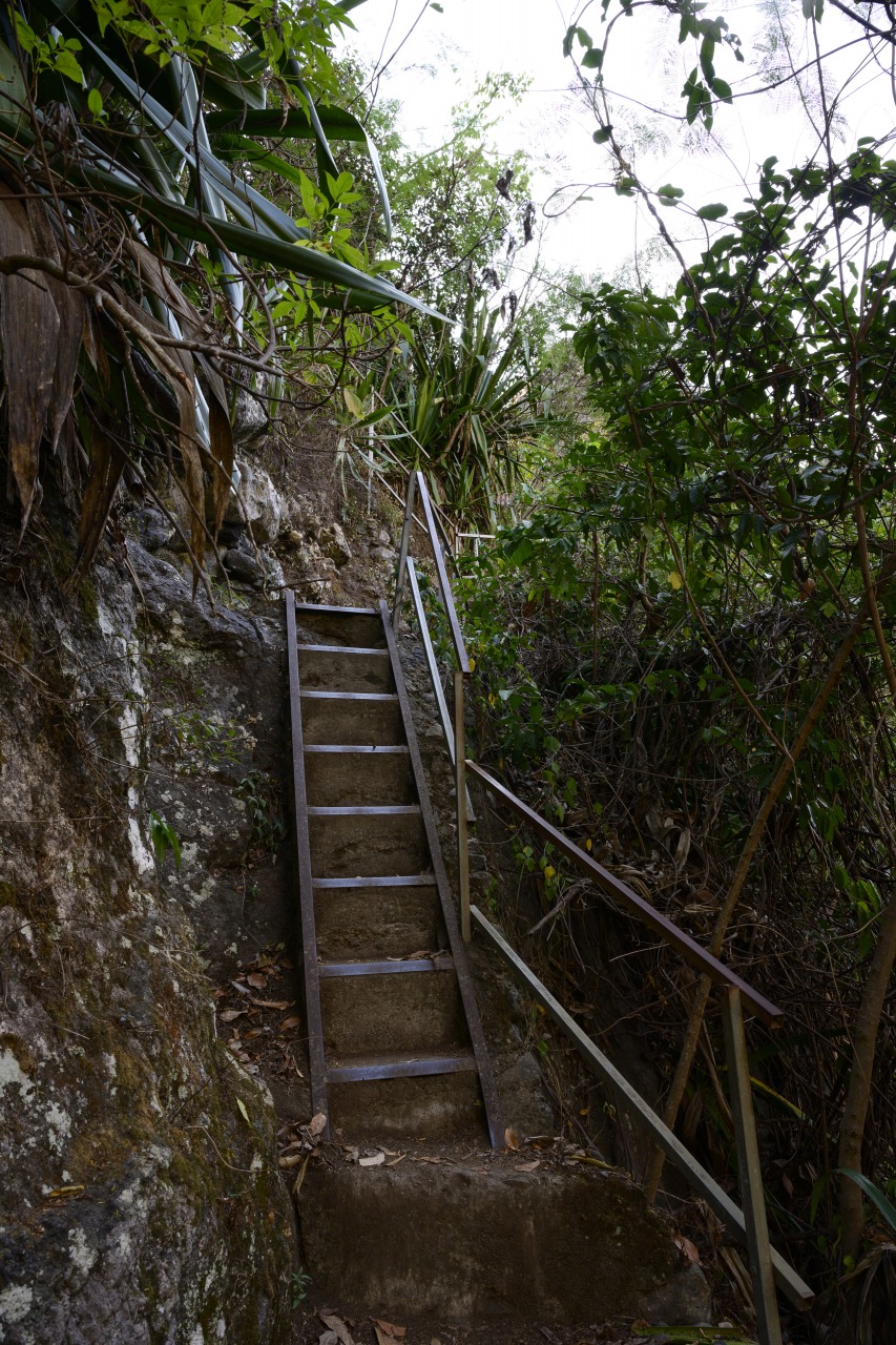
The path first leads us downhill on quite a steep path, down into the gorge. For assistance, there are a few ladders and a very solid steel bridge leads us across the Rivière des Galets after 30 minutes of walking. Again and again we take a look back, the colourful houses of Cayenne are clearly visible even from a distance.
On the other side of the bridge, we climb up again along waterfalls. We are quite fast, the path is very easy, also thanks to the dry ground. The weather today: sunny and warm. After about an hour, we enjoy the view back to Grand Place “Cayenne”. The place looks so far away already!
We skip the Îlet des Lataniers (you can see it at the bottom of the picture on the top left) and go straight to the Îlet des Orangers. On the way, we pass the Captage des Orangers, a spring whose water is channelled via the Canalisation des Orangers to St. Paul on the coast (this is also a hiking trail, by the way). The other three pictures show parts of our path.
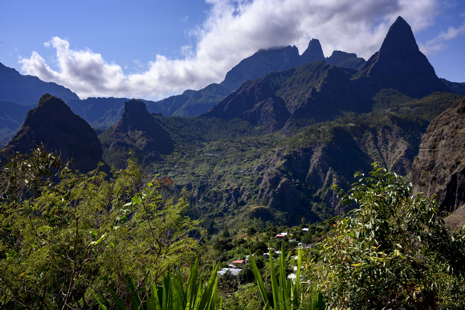
Nature enchants us with its great play of light and shadow and unbelievably great views.
 Licht und Schatten, © Markus Proske — NIKON Z 7, NIKKOR Z 24-70mm f/2.8 S, 70mm, 1/160s, Blende 2.8, ISO 80
 Blick zurück, langgezogen im Hintergrund der nördliche Kraterrand von Mafate, © Markus Proske — NIKON Z 7, NIKKOR Z 24-70mm f/2.8 S, 35mm, 1/80s, Blende 11, ISO 80
In the picture above, you can clearly see the course of the Canalisation des Orangers in the direction of St. Paul. The massive wall in the background? We were up there a few days ago, that’s where Dos d’Âne is! (To be precise: in the visible area would only be the path we took from Roche Êcrite to Dos d’Âne, Dos d’Âne itself is hidden further to the left).
At 10:30, after 2.5 hours, we easily reach the Îlet des Oranger. We follow the signpost “Gîte et Snack du Canal” and find a cosy spot under the orange tree for a long break. We treat ourselves to frites with ketchup and Coke – what a treat compared to the daily evening rice dish! Valérie and Benoit join us, we chat and at 12.15 we leave together.
The signs show the further walking times: 1.45 hours to La Brèche and 2.5 hours to Roche Plate.
We buy mandarins (6 pcs. at EUR 2,-) and see numerous impressive banana bushes, unfortunately the fruits are green.
 Gîte et Snack du Canal, © Markus Proske — NIKON Z 7, NIKKOR Z 24-70mm f/2.8 S, 24mm, 1/50s, Blende 11, ISO 80
 Bananen!, © Markus Proske — NIKON Z 7, NIKKOR Z 24-70mm f/2.8 S, 70mm, 1/200s, Blende 8, ISO 64
Our path today leads through the forest with many tropical plants, but the atmosphere is no longer as mystical and unusual as on the first two days. Instead, we start climbing again, up to the Pass de la Brèche at 1295 m. The path is tough and exhausting, lined with many, many steps. The path doesn’t look wild in the pictures – and it’s not. And it is beautiful. But it’s just exhausting to walk up and down the steps for kilometres.
 Aufstieg zum Pass la Brèche (1295 m), © Markus Proske — NIKON Z 7, NIKKOR Z 24-70mm f/2.8 S, 24mm, 1/50s, Blende 11, ISO 100
At 2:00pm we reach the pass. We enjoy the impressive view at the same time as the two Frenchmen, take photos and eat the aromatic mandarins.
 Piton des Calumets (1616 m), der tiefe Einschnitt ist der Ravine Cimandaf. Auf unserer Seite Roche Plate, auf der anderen das größere La Nouvelle. Im Bildhintergrund rechts ist Marla (der Col Taïbit wird durch die Wolken verdeckt), © Markus Proske — NIKON Z 7, NIKKOR Z 24-70mm f/2.8 S, 34mm, 1/60s, Blende 11, ISO 64
 Roche Plate, La Nouvelle und Marla ganz im Hintergrund, © Markus Proske — NIKON Z 7, NIKKOR Z 24-70mm f/2.8 S, 70mm, 1/320s, Blende 8, ISO 64
The picture above again offers a great overview of tomorrow. Beneath us is Roche Plate, where we will spend the night. One mountain further on, slightly offset to the left, separated from Roche Plate by a deep cut, is La Nouvelle and to the right in the background Marla, where we will spend the night tomorrow.
From the pass we now descend to Roche Plate. Right at the beginning there is an exposed section that is described as unpleasant in some reports. But we didn’t find it too bad (although I’m really afraid of heights).
The descent is again terraced on forest terrain. We reach the Roche Plate town sign at 3:35 p.m. and start looking for our accommodation. We walk for a while in the village before we climb the steep, partly broken stone steps to our gîte “Chez Merlin”. We check into a double room and our bed is decorated with flower petals! Next door there is a shower and toilet for everyone – unfortunately we didn’t get a quiet room. After showering, we read outside and enjoy the breathtaking view with a cold beer. Unfortunately only for a short time, because soon it dawns, the wind freshens up considerably and we fall into bed – oha! The bed is made of boards with a very thin mattress. We grab the map and see what tomorrow’s stage will bring in terms of altitude: Quite a lot!
At 7 pm we have dinner. Three guesses what we have 😉 For dessert we have a lemon cake, a bit of a change at least, and we fall tired into bed at 9 pm.
This article has been semi-automatically translated as a service for foreign users. See details
here.


 Licht und Schatten, © Markus Proske — NIKON Z 7, NIKKOR Z 24-70mm f/2.8 S, 70mm, 1/160s, Blende 2.8, ISO 80
 Blick zurück, langgezogen im Hintergrund der nördliche Kraterrand von Mafate, © Markus Proske — NIKON Z 7, NIKKOR Z 24-70mm f/2.8 S, 35mm, 1/80s, Blende 11, ISO 80
 Gîte et Snack du Canal, © Markus Proske — NIKON Z 7, NIKKOR Z 24-70mm f/2.8 S, 24mm, 1/50s, Blende 11, ISO 80
 Bananen!, © Markus Proske — NIKON Z 7, NIKKOR Z 24-70mm f/2.8 S, 70mm, 1/200s, Blende 8, ISO 64
 Aufstieg zum Pass la Brèche (1295 m), © Markus Proske — NIKON Z 7, NIKKOR Z 24-70mm f/2.8 S, 24mm, 1/50s, Blende 11, ISO 100
 Piton des Calumets (1616 m), der tiefe Einschnitt ist der Ravine Cimandaf. Auf unserer Seite Roche Plate, auf der anderen das größere La Nouvelle. Im Bildhintergrund rechts ist Marla (der Col Taïbit wird durch die Wolken verdeckt), © Markus Proske — NIKON Z 7, NIKKOR Z 24-70mm f/2.8 S, 34mm, 1/60s, Blende 11, ISO 64
 Roche Plate, La Nouvelle und Marla ganz im Hintergrund, © Markus Proske — NIKON Z 7, NIKKOR Z 24-70mm f/2.8 S, 70mm, 1/320s, Blende 8, ISO 64


Leave a Reply
Want to join the discussion?Feel free to contribute!